Route planning
Review the route extent, asset references, access constraints and requested coverage. Divide the corridor into practical acquisition segments with the client’s priorities in view.
 THETATECHNICAL IMAGING SERVICES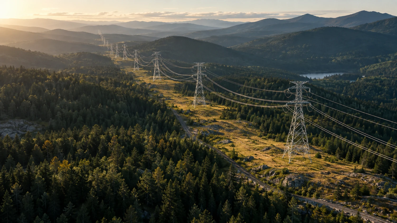
Power Lines & Corridor Imaging
Review transmission assets and their surroundings without losing track of where an image was taken. Route-based aerial capture connects each image set to the relevant corridor segment.
Discuss your projectWhat the service covers
Review the route extent, asset references, access constraints and requested coverage. Divide the corridor into practical acquisition segments with the client’s priorities in view.
Capture the agreed views of structures, line assets and surrounding vegetation or terrain. Coverage is tailored to the client’s review workflow and flight permissions.
Connect image folders and location references to the route structure so reviewers can retrieve the relevant segment without losing context.
Your handover
Imaging scope does not automatically include engineering assessment, vegetation-clearance measurements or automated risk analysis. Those requirements must be specified before acquisition.
Plan your project
Share a route map or coordinates, approximate length, asset identifiers and required image specifications. Tell us whether your analysis team needs a particular file structure.
Discuss power lines & corridor imaging info@thetaimagingservices.com