
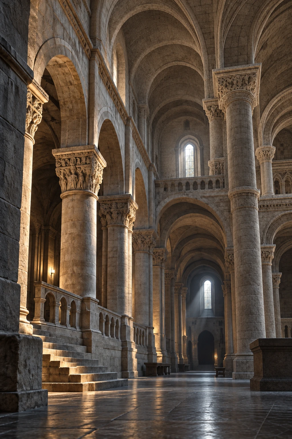
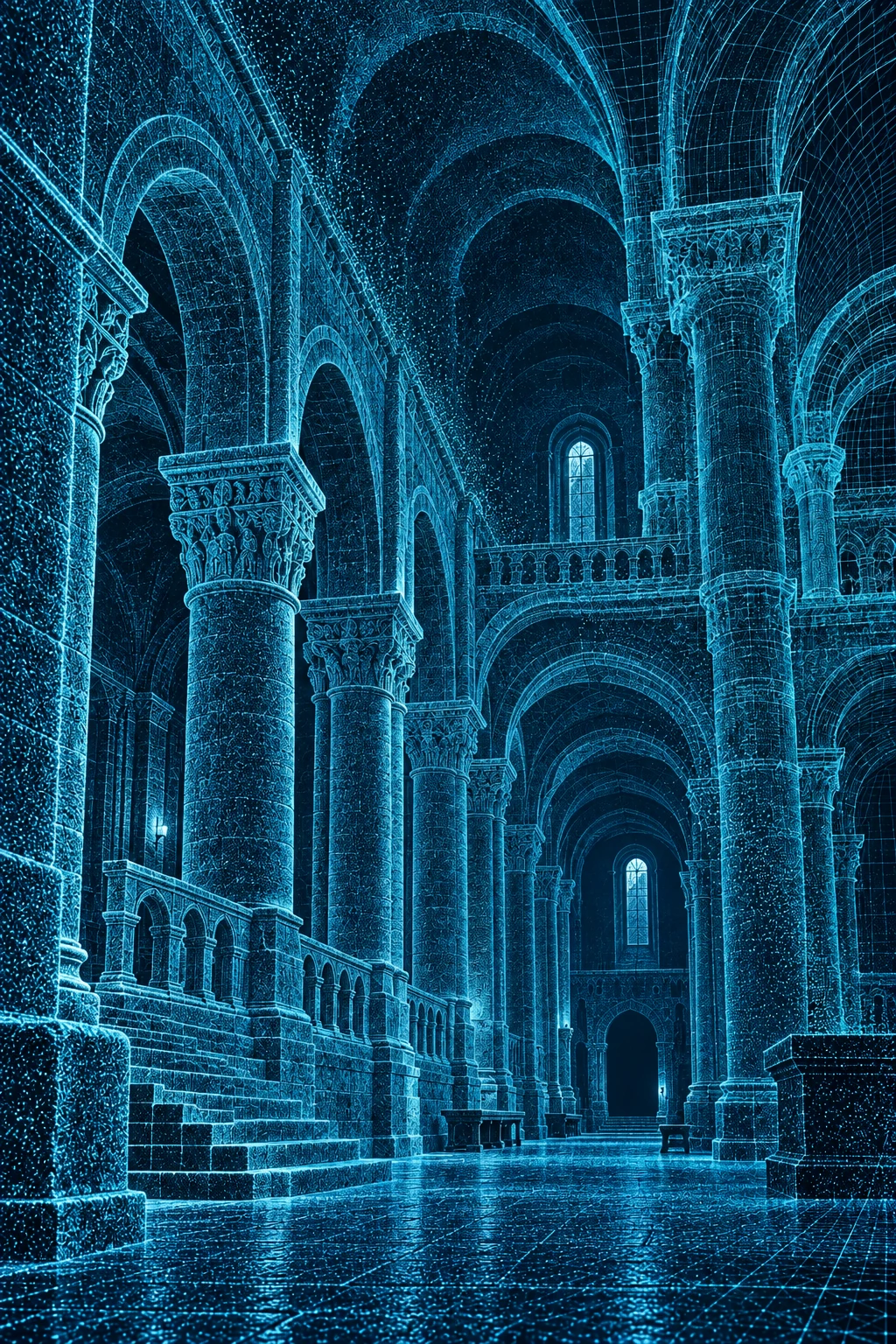
The same illustrative architectural interior in photographic and point-cloud views — Photographic viewThe same illustrative architectural interior in photographic and point-cloud views — Point-cloud illustration

3D & digital documentation

FROM PHYSICAL
SPACE TO
DIGITAL CONTEXT.

Photographic viewPoint-cloud illustration

From photographs to spatial context. Photogrammetry, 3D models and organized digital records for buildings, heritage and terrain.

Drag the slider or use the arrow keys to compare the two views.
All capabilities

Photogrammetry, 3D models and digital records for buildings, heritage and terrain. Capture the form and detail that your next decision depends on.

Explore applications

One spatial discipline. Different applications.

RECORD THE DETAIL.
PRESERVE THE CONTEXT.

For conservation teams, architects, developers and infrastructure organizations. Each acquisition plan starts with how the resulting data will be used.

01

Cultural heritage

Record architectural detail and spatial context for conservation and restoration teams. Coverage is planned around the surfaces and features the project needs to preserve.

Deliverables

Detailed imagery, 3D models and orthophotos within the agreed documentation scope.

02

Buildings & infrastructure

Document existing geometry and site relationships for project teams working with complex built environments.

Deliverables

Point clouds, textured models and selected views in agreed formats.

03

Terrain & site context

Capture the spatial context of land and development sites to support planning and design workflows.

Deliverables

Orthomosaics, surface models and mapping outputs defined around the project requirements.

Deliverables built around their use

MORE THAN
A MODEL.

Geometry & appearance

Point clouds and textured 3D models that connect spatial form with visible surface detail.

Images & orthographic views

Organized photographs and orthophotos supporting review, comparison and documentation workflows.

Traceable project records

Coverage, coordinate references where applicable, file structure and processing notes agreed for the handover.

Required accuracy, control, coverage and validation are defined before acquisition. Deliverables are assessed against that agreed specification.

From site to delivery

A CLEAR PURPOSE.
A DEFINED WORKFLOW.

01

Define the use

Agree the area, required detail, intended application, coordinate requirements and deliverable formats.

02

Plan & capture

Select ground, aerial or combined coverage around access, visibility and the geometry to be recorded.

03

Process & review

Build and check the outputs against the agreed scope. Document coverage gaps and relevant limitations.

04

Deliver & explain

Organize the models and imagery for handover, with the references and context needed to use them.

Start with the space

WHAT NEEDS
DOCUMENTING?

Share the site location, approximate extent, required level of detail and how you plan to use the data. We’ll define the capture and delivery scope around your project.

Discuss digital documentation info@thetaimagingservices.com