Geometry with context
Develop a model of the visible surfaces recorded during capture. Choose a point cloud or mesh according to the detail and downstream workflow the team needs.
 THETATECHNICAL IMAGING SERVICES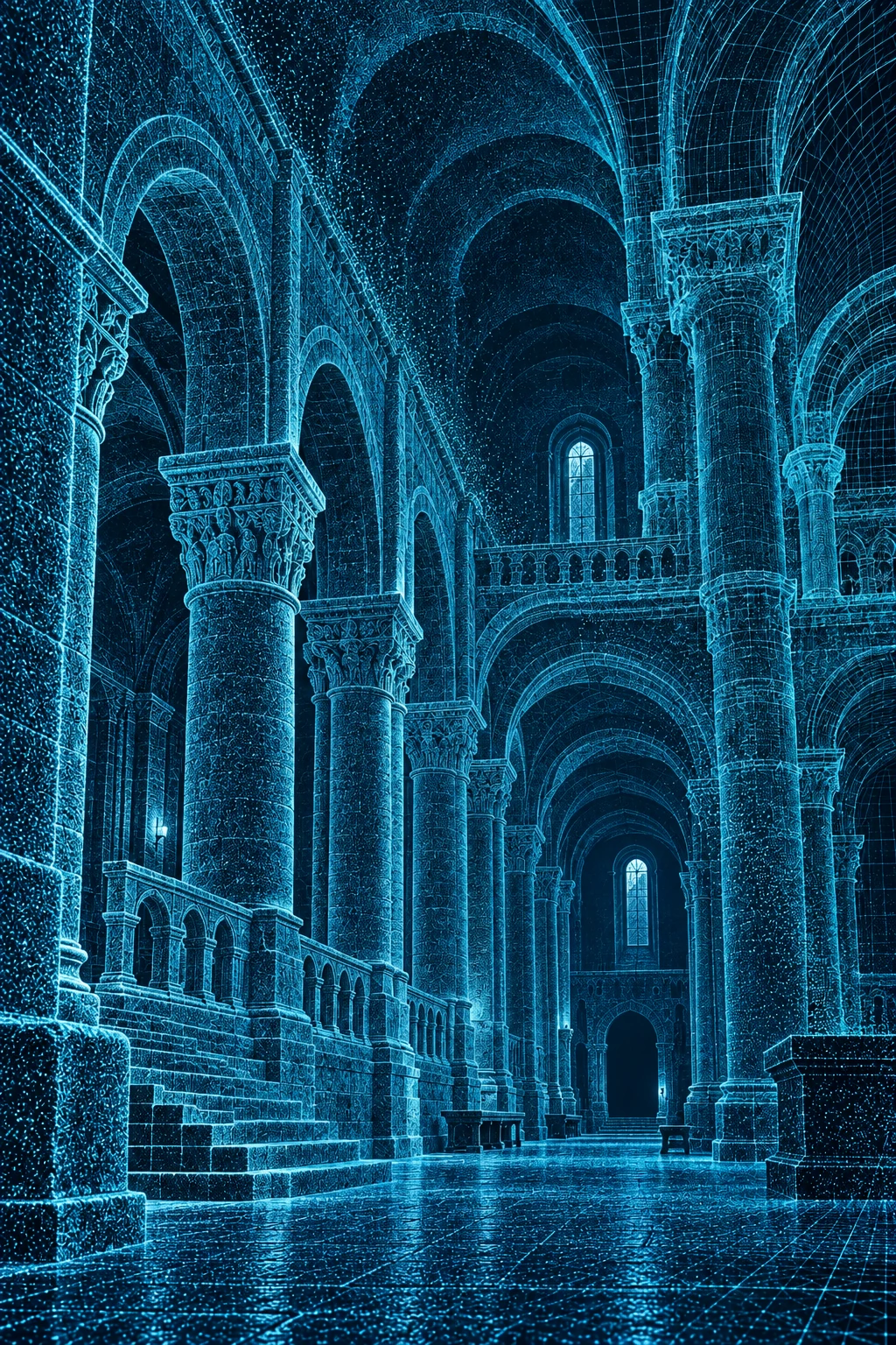
3D Models
Review a place beyond a single photograph. Textured surface models and point clouds help conservation, design and documentation teams examine geometry and communicate spatial relationships.
Discuss your projectWhat the service covers
Develop a model of the visible surfaces recorded during capture. Choose a point cloud or mesh according to the detail and downstream workflow the team needs.
Apply photographic texture where required to connect geometry with visible materials and features. Select an appropriate balance between visual detail and file size.
Agree the software environment, file formats, coordinate references and viewing needs before processing. Prepare the model for the intended handover rather than delivering an unexplained file.
Your handover
A surface model is not automatically a BIM model, structural analysis or a record of concealed construction. Those additional requirements need their own specification.
Plan your project
Tell us what the model must support, which software your team uses and whether you have existing imagery or need a new capture campaign.
Discuss 3d models info@thetaimagingservices.com